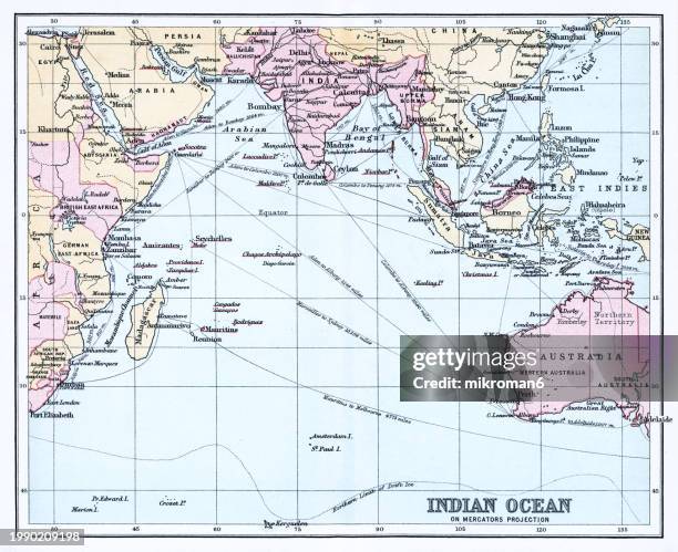
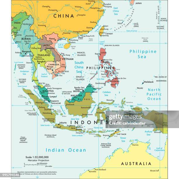
world map topographic map dark ocean color - indian ocean map stock pictures, royalty-free photos & imagesWorld Map Topographic Map Dark Ocean Color
world map 3d render topographic map color - indian ocean map stock pictures, royalty-free photos & imagesWorld Map 3D Render Topographic Map Color
india 3d render topographic map dark ocean neutral - indian ocean map stock pictures, royalty-free photos & imagesIndia 3D Render Topographic Map Dark Ocean Neutral
world topographic map,national border - indian ocean map stock pictures, royalty-free photos & imagesworld Topographic Map,National Border
asia australia topographic map 3d render color - indian ocean map stock pictures, royalty-free photos & imagesAsia Australia Topographic Map 3D Render Color
world map 3d render topographic map color - indian ocean map stock pictures, royalty-free photos & imagesWorld Map 3D Render Topographic Map Color
maps of countries in middle east - indian ocean map stock pictures, royalty-free photos & imagesMaps of countries in Middle East
southeast asia topographic map horizontal 3d render color - indian ocean map stock pictures, royalty-free photos & imagesSoutheast Asia Topographic Map Horizontal 3D Render Color
europe india middle east 3d render topographic map color - indian ocean map stock pictures, royalty-free photos & imagesEurope India Middle East 3D Render Topographic Map Color
old map of indian ocean - indian ocean map stock pictures, royalty-free photos & imagesOld map of Indian Ocean
asia australia topographic map 3d render dark ocean neutral - indian ocean map stock pictures, royalty-free photos & imagesAsia Australia Topographic Map 3D Render Dark Ocean Neutral
Map of the Indian Ocean, published in 1660 by Pieter Goos Dutch engraver and map maker.Map of the Indian Ocean, published in 1660 by Pieter Goos (1616-1675) Dutch engraver and map maker.
australia 3d render planet earth - indian ocean map stock pictures, royalty-free photos & imagesAustralia 3D Render Planet Earth
europe india middle east 3d render topographic map dark ocean neutral - indian ocean map stock pictures, royalty-free photos & imagesEurope India Middle East 3D Render Topographic Map Dark Ocean Neutral
mid-victorian map of indo-china - indian ocean map stock pictures, royalty-free photos & imagesMid-Victorian map of Indo-China
world map eckert iii 3d render topographic map color - indian ocean map stock pictures, royalty-free photos & imagesWorld Map Eckert III 3D Render Topographic Map Color
old chromolithograph map of indian ocean - indian ocean map stock pictures, royalty-free photos & imagesOld chromolithograph map of Indian Ocean
middle east topographic map - indian ocean map stock pictures, royalty-free photos & imagesMiddle East Topographic Map
europe india middle east 3d render topographic map dark ocean color - indian ocean map stock pictures, royalty-free photos & imagesEurope India Middle East 3D Render Topographic Map Dark Ocean Color
political map of south east asia - indian ocean map stock illustrationsPolitical map of South East Asia
china 3d render topographic map color border - indian ocean map stock pictures, royalty-free photos & imagesChina 3D Render Topographic Map Color Border
the british empire 1897 (high resolution with great detail) - indian ocean map stock illustrationsTHE BRITISH EMPIRE 1897 (High resolution with great detail)
flat world map and six globe showing different angles - indian ocean map stock illustrationsFlat world map and six globe showing different angles
world map 3d render topographic map color border city names - indian ocean map stock pictures, royalty-free photos & imagesWorld Map 3D Render Topographic Map Color Border City Names
europe india middle east 3d render topographic map neutral - indian ocean map stock pictures, royalty-free photos & imagesEurope India Middle East 3D Render Topographic Map Neutral
Map Of The Colonial Powers Map Of The World Showing "The Chief Countries And Their Colonies," Circa 1902, From The 10Th Edition Of Encyclopaedia...Map Of The Colonial Powers, 1902
van noort attacked by theives on the marianne islands, 1600 - indian ocean map stock illustrationsVan Noort Attacked by Theives on the Marianne Islands, 1600
antique map of india and himalaya 1898 - indian ocean map stock illustrationsAntique map of India and Himalaya 1898
antarctica map and south pole stations - indian ocean map stock illustrationsAntarctica Map and South Pole Stations
old chromolithograph illustration of map of south polar regions - map of antarctica - indian ocean map stock pictures, royalty-free photos & imagesOld chromolithograph illustration of map of South Polar Regions - Map of Antarctica
political map of africa and colonies, chromolithograph, published in 1898 - indian ocean map stock illustrationsPolitical map of Africa and colonies, chromolithograph, published in 1898
vector map of the world: america,europe,asia,oceania,africa - indian ocean map stock illustrationsVector map of the world: America,Europe,Asia,Oceania,Africa
world map topographic map dark ocean neutral - indian ocean map stock pictures, royalty-free photos & imagesWorld Map Topographic Map Dark Ocean Neutral
underwater world - xlarge - indian ocean map stock pictures, royalty-free photos & imagesUnderwater World - XLarge
world map of dots split into continents - indian ocean map stock illustrationsWorld Map of Dots Split Into Continents
old map of the continent of africa - indian ocean map stock pictures, royalty-free photos & imagesOld map of the continent of Africa
indonesia 3d render topographic map color border - indian ocean map stock pictures, royalty-free photos & imagesIndonesia 3D Render Topographic Map Color Border
mid-victorian map of africa - indian ocean map stock pictures, royalty-free photos & imagesMid-Victorian map of Africa
India and the Campaigns of the Middle East', First World War, 1914-1918, . Map showing British India coloured pink as part of the British Empire,...India And The Campaigns Of The Middle East
Political map of South Western Asia. Map of the Near and Middle East, showing parts of East Africa and the Arabian Peninsula. Plate 50 from The Times...Political Map Of South Western Asia Artist Unknown
high detailed blue indonesia map with regions and national borders of indonesia, brunei, papua new guinea, australia, singapore, malaysia, cambodia, vietnam, thailand, philippines - indian ocean map stock illustrationsHigh detailed Blue Indonesia map with Regions and national borders of Indonesia, Brunei, Papua New Guinea, Australia, Singapore, Malaysia, Cambodia, Vietnam, Thailand, Philippines
madagascar topographic map cyclone batsirai 2022 clouds 3d render color - indian ocean map stock pictures, royalty-free photos & imagesMadagascar Topographic Map Cyclone Batsirai 2022 Clouds 3D Render Color
Map of India - Southern Section. Map of the south of India and what is now Sri Lanka. Plate 58 from The Times Atlas. Artist Unknown.Map Of India - Southern Section Artist Unknown
old chromolithograph map of western asia from the mediterranean to the indus - indian ocean map stock pictures, royalty-free photos & imagesOld chromolithograph map of Western Asia from the Mediterranean to the Indus
Cartography, 17th century. Hydrographic general map by Jean Guerard, 1634.Hydrographic general map by Jean Guerard, 1634
Map Of Persia With Afghanistan And Baluchistan, Map Showing The Historical Boundaries Of Persia , Afghanistan, And Baluchistan, Circa 1902, From The...Map Of Persia With Afghanistan And Baluchistan