World Map with Flight Paths - stock illustration
A detailed world map illustration made up of dots with flight path lines curving between destinations. The map highlights the busiest airports across the world and is an ideal design element for your project. It's easy to colour and customise if required and can be scaled to any size without loss of quality.

Get this image in a variety of framing options at Photos.com.
PURCHASE A LICENSE
All Royalty-Free licenses include global use rights, comprehensive protection, simple pricing with volume discounts available
€300.00
EUR
Getty ImagesWorld Map With Flight Paths High-Res Vector Graphic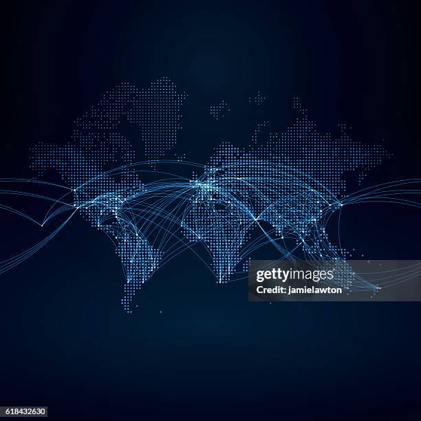 Download premium, authentic World Map with Flight Paths stock illustrations from Getty Images. Explore similar high-resolution stock illustrations in our expansive visual catalogue.Product #:618432630
Download premium, authentic World Map with Flight Paths stock illustrations from Getty Images. Explore similar high-resolution stock illustrations in our expansive visual catalogue.Product #:618432630€300€40
Getty Images
In stockDETAILS
Credit:
Creative #:
618432630
License type:
Collection:
DigitalVision Vectors
Max file size:
4167 x 4167 px (41.67 x 41.67 in) - 100 dpi - 62 MB
Upload date:
Release info:
Model and property released
Categories:
- Connection,
- Globe - Navigational Equipment,
- World Map,
- Computer Network,
- Flying,
- Airplane,
- Global,
- Travel Destinations,
- Travel,
- Vector,
- Thoroughfare,
- Single Line,
- Abstract,
- Europe,
- Spotted,
- Famous Place,
- Pattern,
- Atlantic Ocean,
- Australia,
- Country - Geographic Area,
- Infographic,
- Journey,
- North America,
- Africa,
- Asia,
- South America,
- Business,
- Sea,
- Indian Ocean,
- Geographical Locations,
- Transportation,
- Square - Composition,
- Blue,
- Cartography,
- Geometric Shape,
- Half Tone,
- Mosaic,
- Shape,
- Illustration,
- Mode of Transport,
- Physical Geography,
- Tourism,
- Australasia,
- Business Finance and Industry,
- Circle,
- Land,
- No People,
- Pacific Ocean,
- Vacations,
- Water,