Maps of countries in Middle East - stock photo
A close-up/macro photograph of Middle East from a desktop globe. Adobe RGB color profile.

Get this image in a variety of framing options at Photos.com.
PURCHASE A LICENSE
All Royalty-Free licenses include global use rights, comprehensive protection, simple pricing with volume discounts available
€300.00
EUR
Getty ImagesMaps Of Countries In Middle East High-Res Stock Photo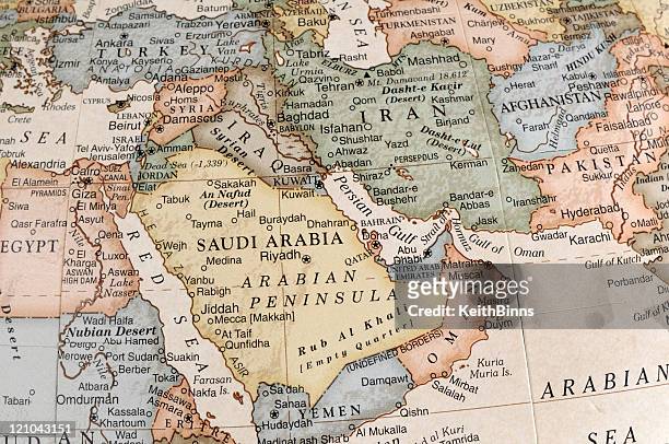 Download premium, authentic Maps of countries in Middle East stock photos from Getty Images. Explore similar high-resolution stock photos in our expansive visual catalogue.Product #:121043151
Download premium, authentic Maps of countries in Middle East stock photos from Getty Images. Explore similar high-resolution stock photos in our expansive visual catalogue.Product #:121043151€300€40
Getty Images
In stockDETAILS
Credit:
Creative #:
121043151
License type:
Collection:
E+
Max file size:
4288 x 2848 px (14.29 x 9.49 in) - 300 dpi - 9 MB
Upload date:
Release info:
No release required
Categories:
- Map,
- Middle East,
- Iran,
- Israel,
- Saudi Arabia,
- Afghanistan,
- Syria,
- United Arab Emirates,
- Persian Gulf Countries,
- Asia,
- Egypt,
- West Asia,
- Iraq,
- Red Sea,
- Qatar,
- Oman,
- Gulf Of Oman,
- Pakistan,
- Tehran,
- Abu Dhabi,
- Lebanon - Country,
- Türkiye - Country,
- Close-up,
- Jordan - Country,
- Kuwait,
- Desktop Globe,
- Journey,
- Yemen,
- Baghdad,
- Cairo,
- Cartography,
- Extreme Close-Up,
- Historical Geopolitical Location,
- Physical Geography,
- Riyadh,
- Amman,
- Ankara - Turkey,
- Basra,
- Color Image,
- Doha,
- Geographical Locations,
- Giza,
- Horizontal,
- Isfahan,
- Kabul,
- Macrophotography,
- No People,
- Photography,
- Sanaa,
- Text,
- Topography,