New Jersey Topographic Map - stock photo
"3D render and image composing: Topographic Map of New Jersey, USA. Including state borders, rivers and accurate longitude/latitude lines. High quality relief structure!Relief texture and satellite images courtesy of NASA. Further data source courtesy of CIA World Data Bank II database.Related images:"

Get this image in a variety of framing options at Photos.com.
PURCHASE A LICENSE
All Royalty-Free licenses include global use rights, comprehensive protection, simple pricing with volume discounts available
€300.00
EUR
Getty ImagesNew Jersey Topographic Map High-Res Stock Photo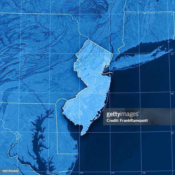 Download premium, authentic New Jersey Topographic Map stock photos from Getty Images. Explore similar high-resolution stock photos in our expansive visual catalogue.Product #:182705442
Download premium, authentic New Jersey Topographic Map stock photos from Getty Images. Explore similar high-resolution stock photos in our expansive visual catalogue.Product #:182705442€300€40
Getty Images
In stockDETAILS
Credit:
Creative #:
182705442
License type:
Collection:
E+
Max file size:
1600 x 1600 px (5.33 x 5.33 in) - 300 dpi - 1 MB
Upload date:
Release info:
No release required
Categories:
- New Jersey,
- Map,
- New York City,
- USA,
- Satellite View,
- Topographic Map,
- Illustration,
- Blue,
- Business,
- Digitally Generated Image,
- Three Dimensional,
- Topography,
- Cartography,
- Color Image,
- Delaware Bay,
- Digital Composite,
- Geology,
- Hudson River,
- Latitude,
- Longitude,
- Mid-Atlantic - USA,
- Monochrome,
- No People,
- Physical Geography,
- Shape,
- Square - Composition,
- View Into Land,