19th century French railway map for area around Paris - stock photo
London, England - November 29, 2011: A damaged 19th century French railway map for the area around Paris, the capital of France. The building of the main railway system in France started after 1842 and was rather inefficient for several decades. However, the many railway lines around Paris helped make it the major city it is today.
Intended for editorial use

Get this image in a variety of framing options at Photos.com.
PURCHASE A LICENSE
All Royalty-Free licenses include global use rights, comprehensive protection, simple pricing with volume discounts available
€300.00
EUR
Getty Images19th Century French Railway Map For Area Around Paris High-Res Stock Photo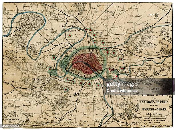 Download premium, authentic 19th century French railway map for area around Paris stock photos from Getty Images. Explore similar high-resolution stock photos in our expansive visual catalogue.Product #:458566553
Download premium, authentic 19th century French railway map for area around Paris stock photos from Getty Images. Explore similar high-resolution stock photos in our expansive visual catalogue.Product #:458566553€300€40
Getty Images
In stockNot sure if you can use this image for commercial purposes? Find out
DETAILS
Credit:
Creative #:
458566553
License type:
Collection:
iStock Unreleased
Max file size:
6056 x 4488 px (20.19 x 14.96 in) - 300 dpi - 20 MB
Upload date:
Intended for:
Editorial use
Release info:
Releases not available for featured content. To use for commercial purposes, contact us.
Categories:
- Map,
- France,
- Old-fashioned,
- Paris - France,
- Ile-de-France,
- Plan - Document,
- 19th Century,
- 19th Century Style,
- Cut Out,
- Old,
- City,
- French Culture,
- Seine River,
- Victorian Style,
- Antique,
- Bad Condition,
- Cartography,
- Close-up,
- Color Image,
- Condition,
- Cultures,
- Damaged,
- Direction,
- Distressed - Photographic Effect,
- Document,
- Editorial,
- Engraved Image,
- Engraving,
- Europe,
- European Culture,
- French Overseas Territory,
- Horizontal,
- Illustration,
- Messy,
- Mode of Transport,
- No People,
- Obsolete,
- Paper,
- Printed Media,
- Railroad Track,
- Reportage,
- Residential District,
- Run-Down,
- Saint-Denis de La Reunion,
- Social History,
- Stained,
- Text,
- Tourism,
- Transportation,
- Travel,
- Versailles,
- Weathered,
- White Background,