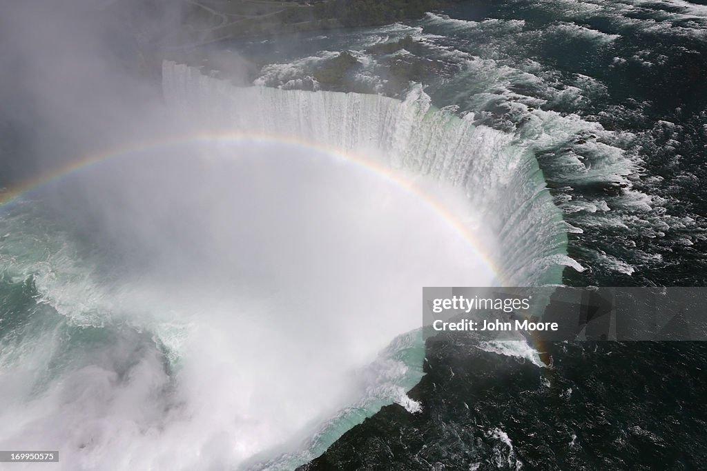
Aerials of U.S.-Canada Border Along The Niagara River
NIAGARA FALLS, NY - JUNE 04: A rainbow appears in a cloud of mist rising over Horseshoe Falls, the largest of the Niagara Falls on June 4, 2013 at Niagara Falls, New York. The falls, which have a combined highest flow rate of any waterfalls in the world, stradle the U.S.-Canada border, drawn through the Niagara River, which drains Lake Erie into Lake Ontario. The falls, visited by millions of tourists on each side of the border, are also a major source of hydroelectric power for the region. The aerial view was seen from a helicopter flown by the U.S. Office of Air and Marine, (OAM), which monitors and patrols the U.S. northern border with Canana. (Photo by John Moore/Getty Images)

PURCHASE A LICENSE
How can I use this image?
€300.00
EUR
Getty ImagesAerials of U.S.-Canada Border Along The Niagara River, News Photo Aerials of U.S.-Canada Border Along The Niagara River Get premium, high resolution news photos at Getty ImagesProduct #:169950575
 Aerials of U.S.-Canada Border Along The Niagara River Get premium, high resolution news photos at Getty ImagesProduct #:169950575
€475€115
Getty Images
In stockDETAILS
Restrictions:
Contact your local office for all commercial or promotional uses. Full editorial rights UK, US, Ireland, Canada (not Quebec). Restricted editorial rights for daily newspapers elsewhere, please call.
Credit:
Editorial #:
169950575
Collection:
Getty Images News
Date created:
June 04, 2013
Upload date:
License type:
Release info:
Not released. More information
Source:
Getty Images North America
Object name:
74953436