Map of the United Kingdom - stock illustration
Detailed Hand drawn map of the United Kingdom and Ireland. Map includes Main roadways,waterways, as well as city and Capital Markers.(All separate Layers)

Get this image in a variety of framing options at Photos.com.
PURCHASE A LICENSE
All Royalty-Free licenses include global use rights, comprehensive protection, simple pricing with volume discounts available
€300.00
EUR
Getty ImagesMap Of The United Kingdom High-Res Vector Graphic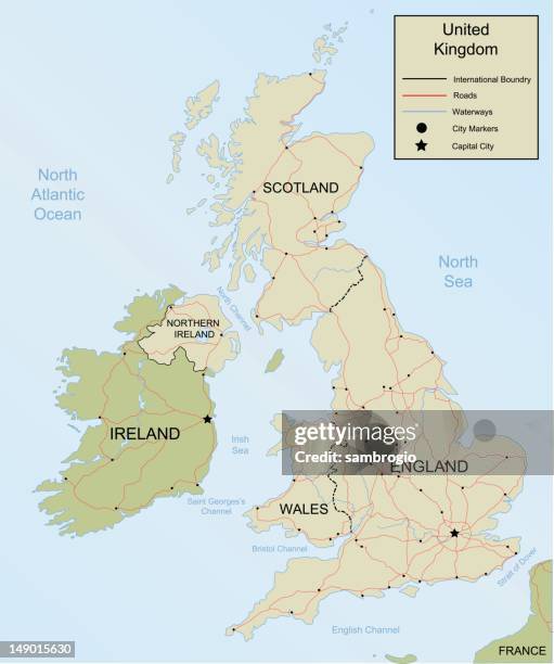 Download premium, authentic Map of the United Kingdom stock illustrations from Getty Images. Explore similar high-resolution stock illustrations in our expansive visual catalogue.Product #:149015630
Download premium, authentic Map of the United Kingdom stock illustrations from Getty Images. Explore similar high-resolution stock illustrations in our expansive visual catalogue.Product #:149015630€300€40
Getty Images
In stockDETAILS
Credit:
Creative #:
149015630
License type:
Collection:
DigitalVision Vectors
Max file size:
4130 x 4946 px (13.77 x 16.49 in) - 300 dpi - 3 MB
Upload date:
Release info:
Model and property released
Categories: