Antique map of the world, 19th Century - stock illustration
Vintage engraving of a Antique map of the world, 19th Century. Physial map of the direction of mountain chains, Ocean basins and principal river systems, trade winds and monsoon regions

Get this image in a variety of framing options at Photos.com.
PURCHASE A LICENSE
All Royalty-Free licenses include global use rights, comprehensive protection, simple pricing with volume discounts available
€300.00
EUR
Getty ImagesAntique Map Of The World 19th Century High-Res Vector Graphic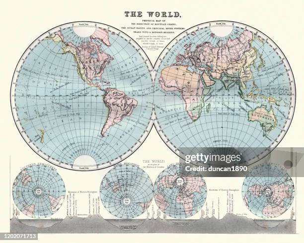 Download premium, authentic Antique map of the world, 19th Century stock illustrations from Getty Images. Explore similar high-resolution stock illustrations in our expansive visual catalogue.Product #:1202071713
Download premium, authentic Antique map of the world, 19th Century stock illustrations from Getty Images. Explore similar high-resolution stock illustrations in our expansive visual catalogue.Product #:1202071713€300€40
Getty Images
In stockDETAILS
Credit:
Creative #:
1202071713
License type:
Collection:
DigitalVision Vectors
Max file size:
6000 x 4800 px (20.00 x 16.00 in) - 300 dpi - 29 MB
Upload date:
Release info:
Property released
Categories:
- Nautical Chart,
- Archival,
- Old-fashioned,
- Retro Style,
- World Map,
- Globe - Navigational Equipment,
- Old,
- The Past,
- 1880-1889,
- 19th Century,
- 19th Century Style,
- Africa,
- Antique,
- Cartography,
- Chart,
- Color Image,
- Eastern Hemisphere,
- Engraving,
- Equipment,
- Europe,
- Graphic Print,
- Hemisphere,
- Horizontal,
- Illustration,
- Land,
- Land Feature,
- Map,
- Mountain,
- Mountain Range,
- Natural Phenomenon,
- Navigational Equipment,
- No People,
- North America,
- Obsolete,
- Oceania,
- Physical Geography,
- Shape,
- South America,
- Styles,
- Three Dimensional,
- Topography,
- Victorian Style,
- Woodcut,